I am curious where people usually get their weather files. I typically go to
But I presume there are lots of other places to get them. I’m especially interested in actual weather files and future weather files.
I am curious where people usually get their weather files. I typically go to
But I presume there are lots of other places to get them. I’m especially interested in actual weather files and future weather files.
Hi Jason,
One interesting source for actual weather files is the NASA Power database.
They provide a number of relevant parameters that can be downloaded in different formats and should be enough to generate simulation-worthy files.
The POWER project is great for getting a lot of data, more than you can get through TMY files. Be aware that the POWER grid is very coarse and uses interpolation:
The data/parameters in POWER Release 9 are provided on a global grid with spatial resolutions equal to the input data. That resolution is 1.0° latitude by 1.0° longitude for the radiation data sets and ½° latitude by ⅝° longitude for the meteorological data sets.
If all you need is a TMY file, the OneBuilding files are more accurate if there is an airport within 10-20 miles.
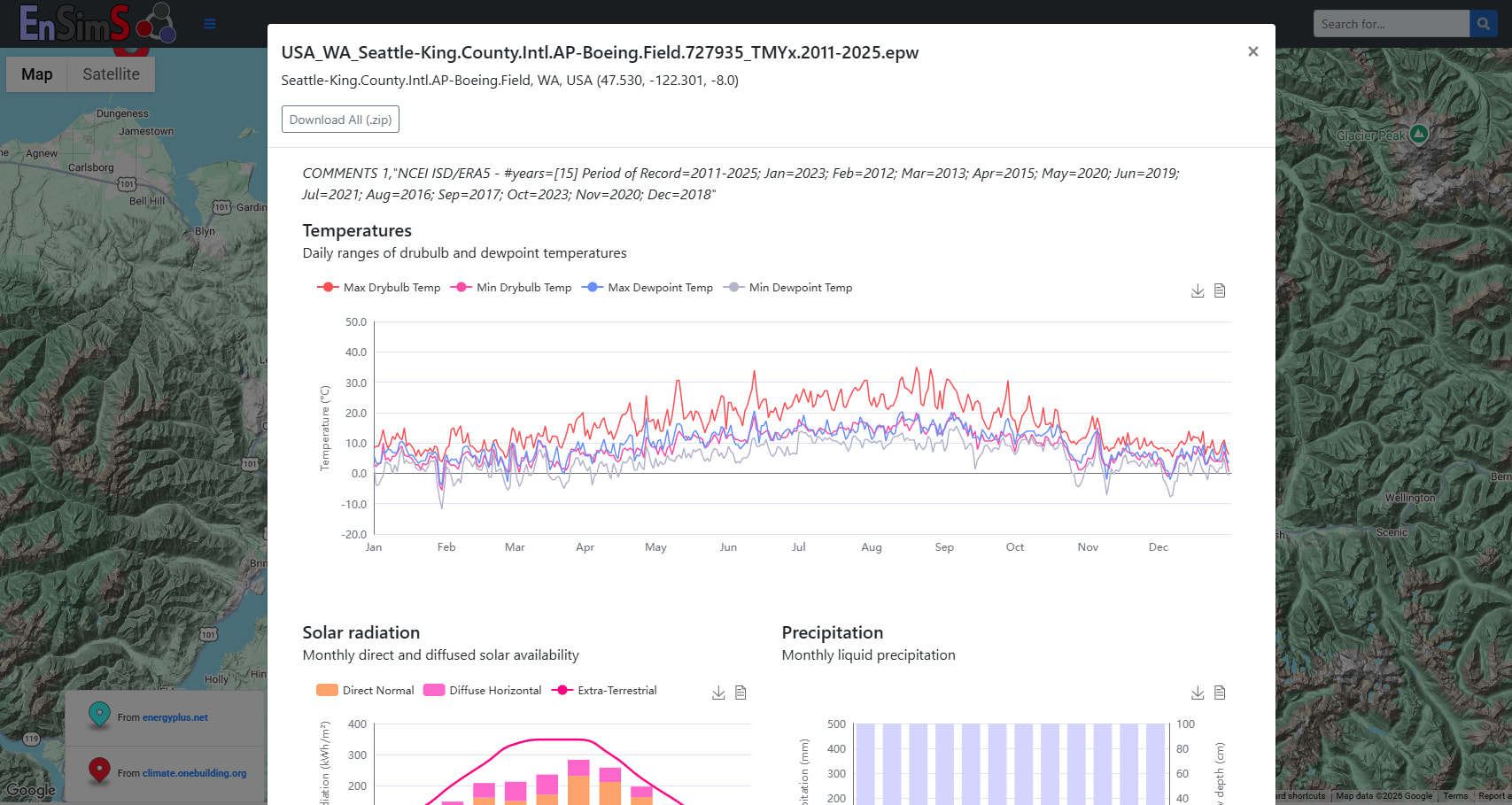
EnSimS also provides an EPW weather map that draws from the OneBuilding weather files set. The nice thing about their website is that you can preview some of the data, including design conditions if the weather file contains them.
The EPW map still doesn’t have TMYx though, right? Or is there some way to get them I’m not seeing?
https://oikolab.com/ provides a few AMYs for free every month. We use it to calibrate our models of existing buildings. 2025 is available as well if you choose “Custom” period.
I’m curious about PNNL’s DIY EPW tool - I took a look at the ReadMe, and it mentions that weather files are updated for the following variables:
dry bulb temperature
dew point temperature
pressure
wind direction
wind speed
Do you know how they handle cloud cover? Are individual days updated or is the entire weather file morphed based on a change in climatic data? In some locations (Arizona) there is almost 0 cloud cover and you can simply update a weather file based on these parameters. But in other locations (Vermont) - cloud cover varies significantly. This becomes more important when AMY files are used for calibration, where the modeler is looking to match day-to-day and hour-to-hour patterns in a building.
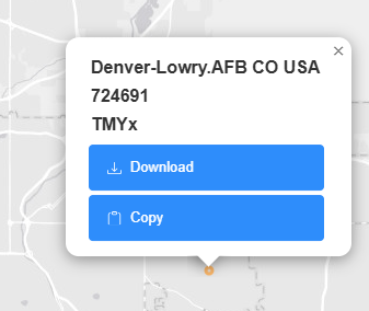
Yes, EPW Map has TMYx linked from climate.onebuilding.org. It’s not obvious in the legend, but if you hover over the TMY dots, many are TMYx.
diyepw uses TMY as a starting point and injects AMY data where available. So, the variables related to cloud cover (global, normal, and diffuse solar) are just taken from the TMY. It’s not great, but it’s something. Here’s an AMY2024 (generated with diyepw) and TMY3 for Seattle so you can compare.
I’ve been using data from the Power for about two years now and found it to be pretty reliable. I did some temperature and wind speed comparisons to some airport weather station data and found pretty tight agreement.
Another thing to be aware of in addition to the course grid is that there is a 2-4 month lag before solar data is available in the EPW export. So you can’t export a fully complete AMY weather file to a given present day. But it’s complete starting a few months into the past.
I spoke with one of the engineers from NASA Power at the recent IBPSA conference and he mentioned that they’re in the process of improving the resolution of the data for future measurements. So the tool should continue to get better in the future. They also have a relatively new built-in validation visualization tool now that lets you quickly compare the NASA data to nearby airport data.
If your location is near the coast or a large body of water, you may see differences. For example, Washington Dulles and National airports are in the same grid section in POWER. POWER data looks very similar to the weather station at Dulles, but National is moderated by the Potomac River.
I still go for the tried and true where I can reach out to a professional for questions.
 Me too! Joe Huang is the man.
Hey folks,
I decided to build my own personal weather platform last year and have since gone VERY far down the rabbit hole; AMY, custom locations, future weather, heat waves, cold snaps, compound, fire smoke.. it’s become a bit of a passion project 
If anyone wants to kick the tires you can go straight to epwforge.com/demo, or use code EPWF-BLDG-SIM at epwforge.com/join for full access. There is an mcp server as well.
Any feedback from this group would be much appreciated! There is a transparency page for anyone interested in the data behind the curtain.
Cheers
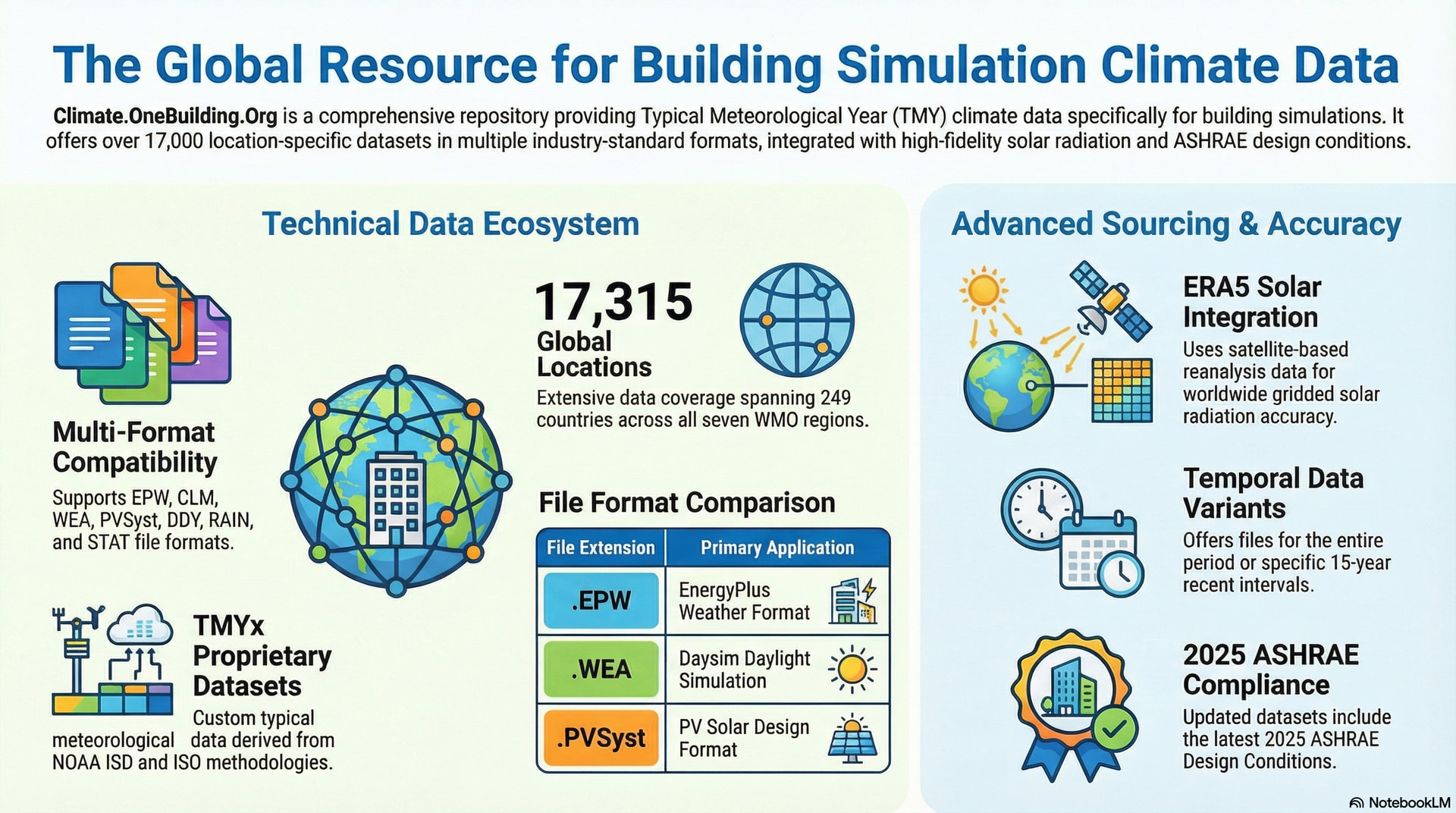
Reminding all of climate.onebuilding.org. We updated the site earlier this year but are in the process of making sure all names/WMOs are grouped together. Just about to upload CWEC Canada files.
Linda
You can access a wide range of weather data from the DesignBuilder Climate Analytics platform. Data is sourced from the NOAA ISD and the MERRA2 reanalysis datasets. Options are available to morph the data for a range of future climate scenarios, and tools are available to help identify design years with worst-case heat waves, etc.
For the coders out there, I integrated the index of the climate.onebuilding.org dataset into idfkit, so that it can be easily queried in python-based workflows.
Here’s the functionality using the CLI (although the modules can be imported into your own python apps and notebooks)

Let me know what you think!